Smart Asset Management Solution for Public Works & Engineering

A GIS-native platform that helps cities and public agencies manage pavement, sidewalk, ADA, and right-of-way assets, turning condition data into defensible capital improvement plans.
Pavement Management

Sidewalk & Markings Management

Signs Markings Management

Right-of-way Asset Inventory

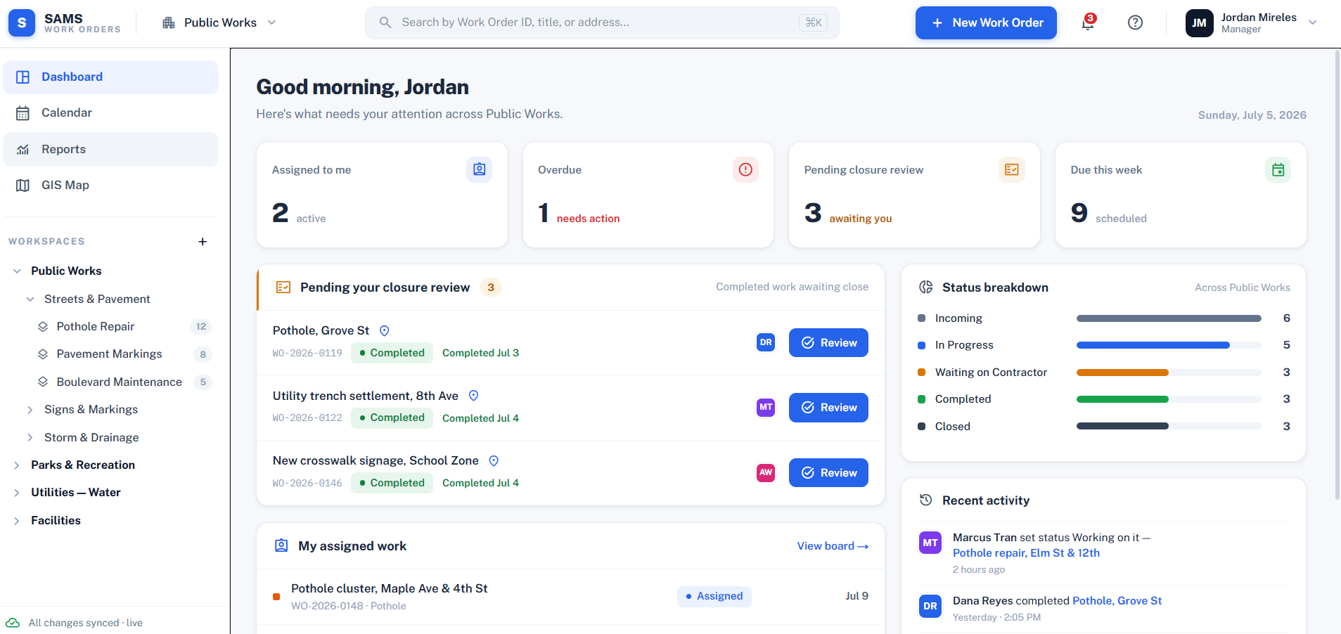
Work Order Management

CIP planning & Budget Optimization

Mobile Data Collection

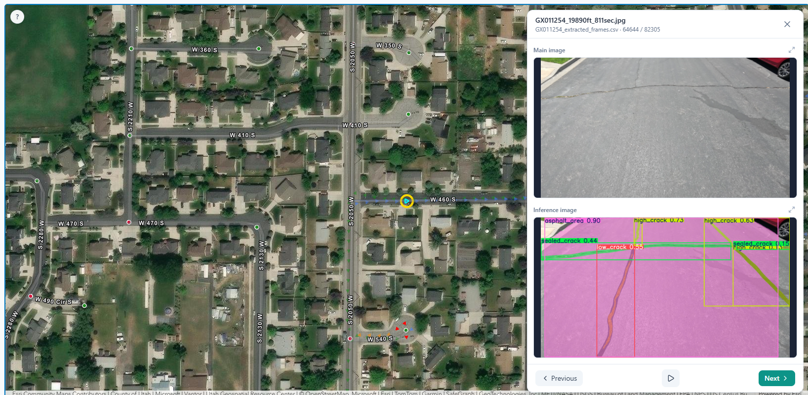
AI & Lidar Powered Insights

GIS-Centric Platform

About us

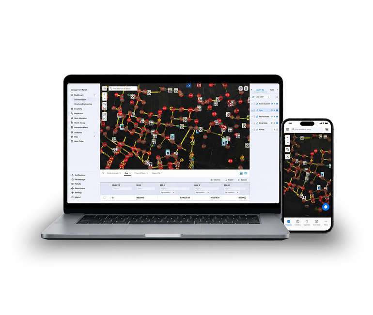
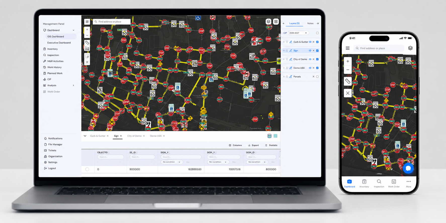
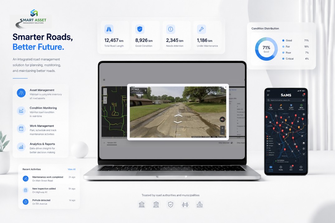
SAMSTM is a cloud-based Enterprise Asset Management (EAM) platform designed for public agencies to help manage all Public Works assets including pavements, sidewalks, ADA Curb Ramps, signs, etc. with confidence. Whether you're in the office or in the field, access real-time GIS maps, inspections, work orders, asset inventories, and capital improvement plans from any device. Your data stays synchronized across desktop, tablet, and mobile, empowering your team to make informed decisions wherever work takes them.
A Single Source of Truth for Public Infrastructure

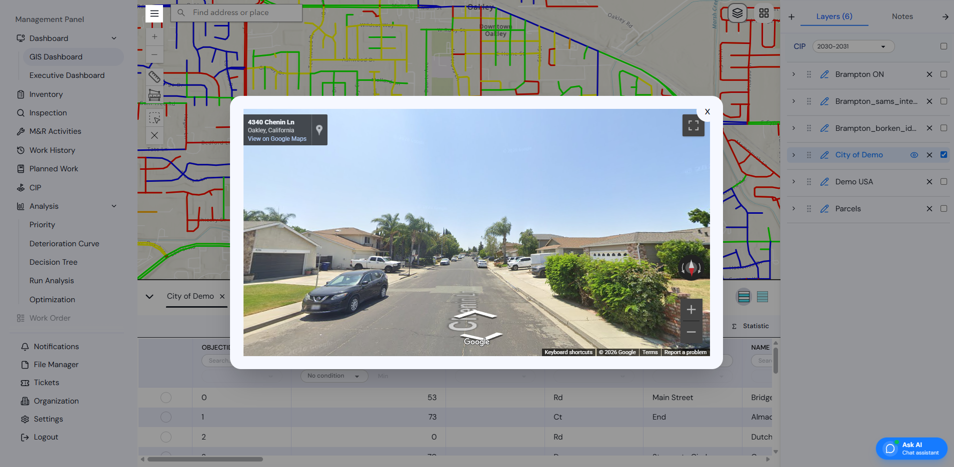
See and manage all public assets in one GIS-centric platform.

Manage Pavement, Sidewalk, ADA Curb Ramps, and other assets in One Place

Focused on the assets cities manage every day.

From Field Data to Capital Planning

Turn inspections and inventories into defensible CIP decisions.

Share with Residents

Publish a Public Dashboard with one click, so everyone can see infrastructure projects, conditions, and improvements you are making.

One Platform for Managing Every Public Asset

Key Features

Open Analysis

Why Invest in a Pavement Management Solution?

Open Analysis

Asset catalog

Define Goals & Analyze Needs

Work with your team to map asset classes, data sources, and stakeholders—and define what success looks like for your fiscal year.

Import & Prepare Your Data

Upload inventory and inspection data from GeoJSON, Excel or CSV. Our smart import tools map and validate your data in minutes.

Model Deterioration & Set Priorities

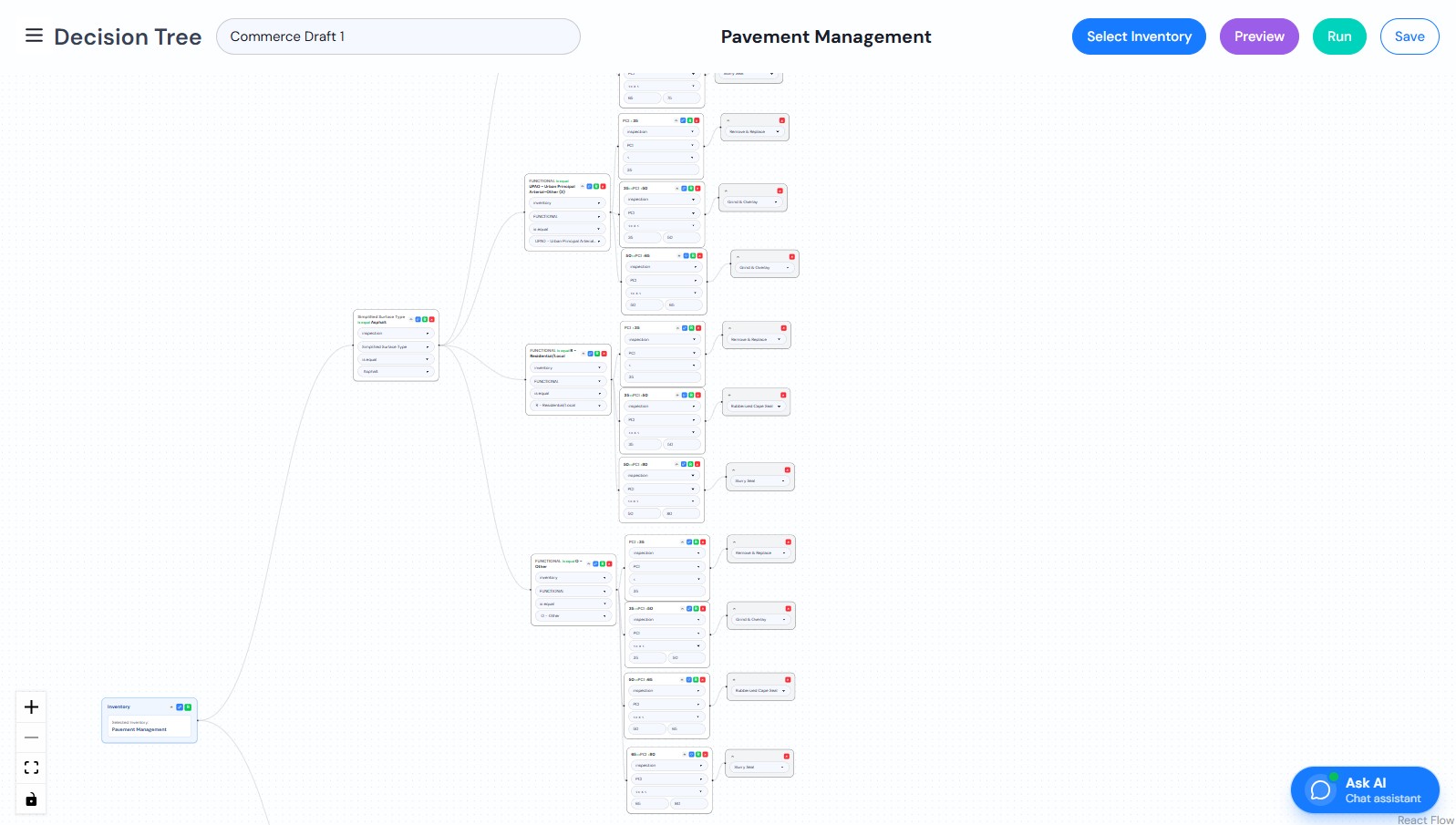
Build deterioration curves, decision trees and ranking models using our visual editor to identify needs and prioritize projects.

Run Scenarios & Analyze Funding

Compare multi-year scenarios with different funding levels, inflation, and constraints. See gaps, trade-offs, and long-term impacts.

Publish & Communicate Results

Share interactive dashboards and export reports to communicate your CIP plan and performance with leadership and the public.

How We Work

Our Projects

Optimize your Infrastructure with SAMS
Open Dashboard

Geo Spatial AI

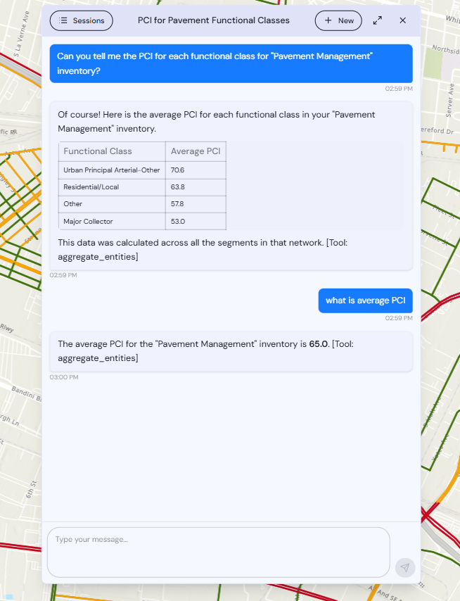
“Which streets in Ward 3 have a PCI below 40 and no planned work this fiscal year?” — asked by James E.

"Where are we falling behind on maintenance?" — asked by Kurt K.

"Which streets are in the worst shape right now?— asked by Monish B.

Why agencies love it:

• 🔍 Just ask—no training needed
Type questions in plain language and get clear results.
• 📊 Clear answers, ready to share
Tables and visuals you can use in meetings and reports.
• 🗺️ Built on your data
Uses your inspections, maps, and work history—nothing else.
• 💬 Conversations that remember
Pick up where you left off, anytime.
• 🧭 Faster decisions, less guesswork
Spend less time digging for data and more time planning.
Model deterioration to

Predict the Future

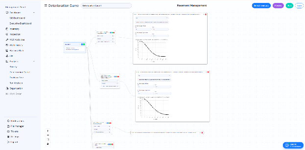
Build deterioration curves, priority decision trees and main rehab trees with a visual editor — then run bulk multi-year analyses with budgets, inflation and carryover. Filter segments by any inventory or inspection attribute.
Open Analysis

Tell the story to

leadership in one screen.

Open Dashboard

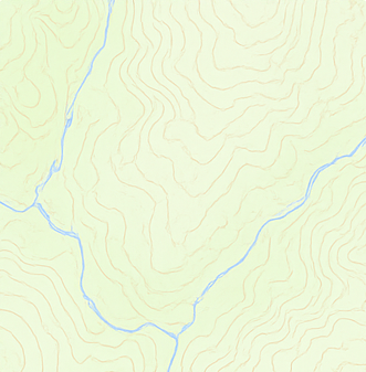
Seven basemaps. Pick what fits.

I've spent over 25 years helping public agencies implement pavement and enterprise asset management systems across the country. In that time, I've worked with nearly every major platform on the market. SAMS stands apart. Its flexibility, modern design, and ease of use are unmatched, giving agencies the power to manage their assets the way they want—not the way the software dictates. In my experience, SAMS is truly a best-in-class enterprise asset management solution.
Kurt Keifer
Executive Vice President, QES
We have used SAMS on several projects, and I honestly couldn’t be happier with the results. The platform combines a remarkably user-friendly interface with powerful analytical capabilities that make complex pavement and asset management tasks significantly easier and more efficient. What really sets SAMS apart is its flexibility, speed, and optimization capabilities. It allows us to apply our engineering judgment while giving us the analytical power to make better, data-driven decisions. After using SAMS across multiple projects, it has become a platform we can confidently recommend to other agencies and engineering firms.
Hamed Majidfard
CEO, TEE

Let's talk about your CIP.

Leave your email — we'll get back within one business day with a tailored demo of your asset class.

Questions, briefly answered.

If something isn't here, the team replies within one business day.

How fast can we get SAMS up and running?

Upload your shapefile and start planning in minutes!

Yes, you can manage your pavement, sidewalks, ADA curb ramps, signs, pavement markings, etc. all within one integrated platform.

SAMS uses an optimization engine to evaluate all possible treatment options and selects the combination that delivers the highest return on investment while staying within your budget and agency priorities. This feature is unique to SAMS.

Your data is yours, and you retain full control over where it is stored. SAMS supports deployment in the cloud environment of your choice, including AWS, Google Cloud, and Microsoft Azure.

Stop guessing.

Start planning.

A 20-minute demo with your own data is enough to see the multi-year picture.