
Built by civil engineers, designed to manage every asset.
SAMS brings pavement, sidewalks, ADA, signs, pavement markings and other public infrastructure together in one GIS-centric platform, connecting engineering, data, planning and operations.
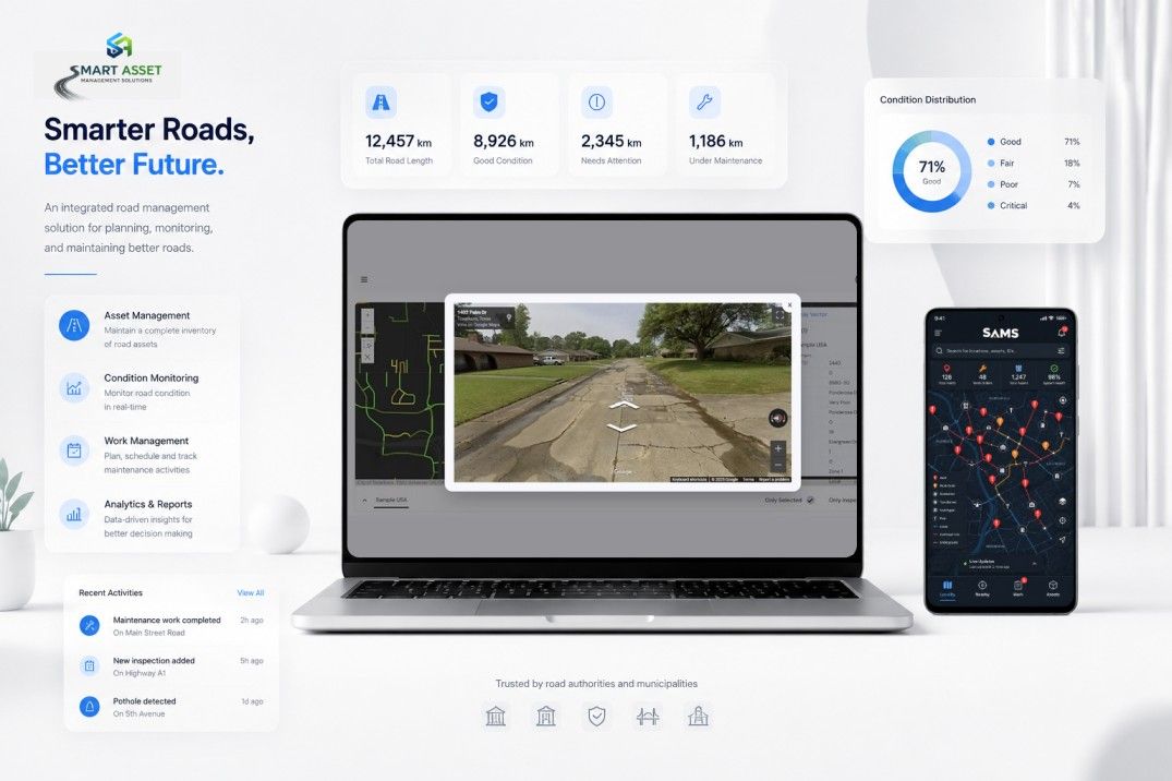
Every infrastructure decision intelligent, proactive and optimized.
We want communities to get more value from every dollar they invest in infrastructure. Whether you manage fifty miles of road or fifty thousand signposts, SAMS scales to your needs.
All assets, one platform.
To make infrastructure management smarter, simpler and more effective through engineering-driven technology. We combine engineering expertise, GIS, AI and analytics to help public agencies make better decisions and get the most from their infrastructure investments.
SAMS acts as the intelligence layer for your digital twin, turning raw infrastructure data into a living model of your community.
One map. Every asset.
Complete visibility across the right-of-way and beyond.
Clear priorities.
Complex infrastructure data turned into decisions.
Every dollar optimized.
Get more from the infrastructure you already own.
Public works, DOTs and the engineers who support them.
Municipal public works departments, state DOTs, consultants and infrastructure owners who need one system for field data, analysis and executive reporting.
- Pavement and roadway networks
- Signs, signals and street furniture
- Drainage, bridges and structures
- Multi-year CIP and capital planning
250+ agencies, 41 states and 6 other countries.
Agencies served by CIS and CIS team members over 30 years: cities, counties and regional agencies, federal and state DOTs, airports and military installations.
Circles show cities, counties and regional agencies, larger where more were served; diamonds are federal and state DOTs, triangles airports and grey squares military installations. Hover or tap a circle for names.



See SAMS with your own data.
A 20-minute demo is enough to see the multi-year picture. We reply within one business day.