
Every asset on the road, inventoried & scored.
Beyond pavement and sidewalks, you own everything in the right-of-way: signs, signals, streetlights, pavement markings and more. We capture condition data, assign scores, and help you plan maintenance and replacement on a predictable schedule.
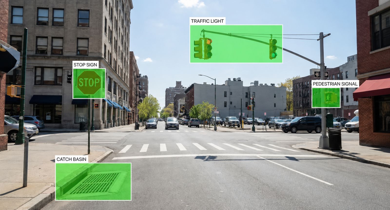
Signs fade. Markings wear. Luminaires fail.
Pavement and sidewalks often dominate capital budgets, but traffic hardware ages on its own timeline. Without a current inventory and condition baseline, agencies react to failures instead of scheduling replacements before they become safety or liability issues.
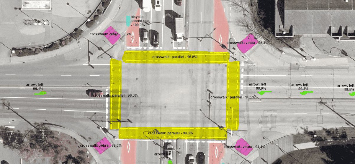
From street-level capture to GIS inventory.
Collect with LiDAR & imagery
Mobile collection captures signs, signals, poles, markings and street furniture along the corridor.
AI detects & classifies
Machine learning identifies asset types, locations and visible condition issues.
Score condition
Each asset gets a rating: faded markings, damaged signs, inoperative luminaires and more.
Plan maintenance
The GIS inventory feeds multi-year programs: what to maintain, what to replace, and when.
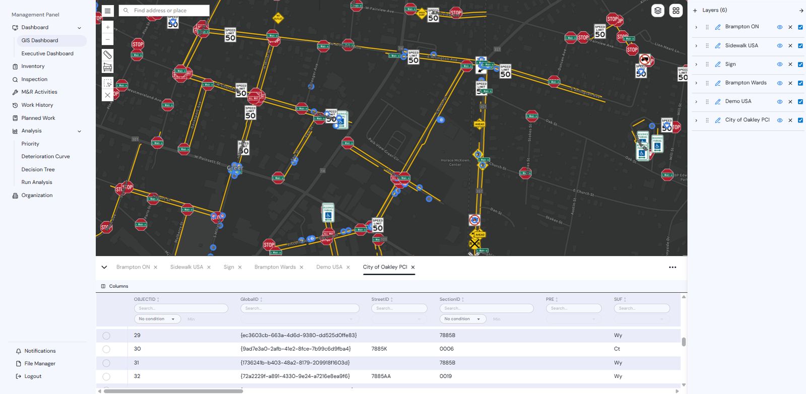
A complete, scored inventory, linked to your other layers.
Other assets are linked spatially to your pavement and sidewalk layers, so one platform drives every capital decision in the right-of-way.
- Geolocated asset inventory: type, ID and attributes
- Condition scores per asset class
- Maintenance and replacement year recommendations
- GIS layers importable to SAMS or ArcGIS
- AI-detected assets with human QC sign-off
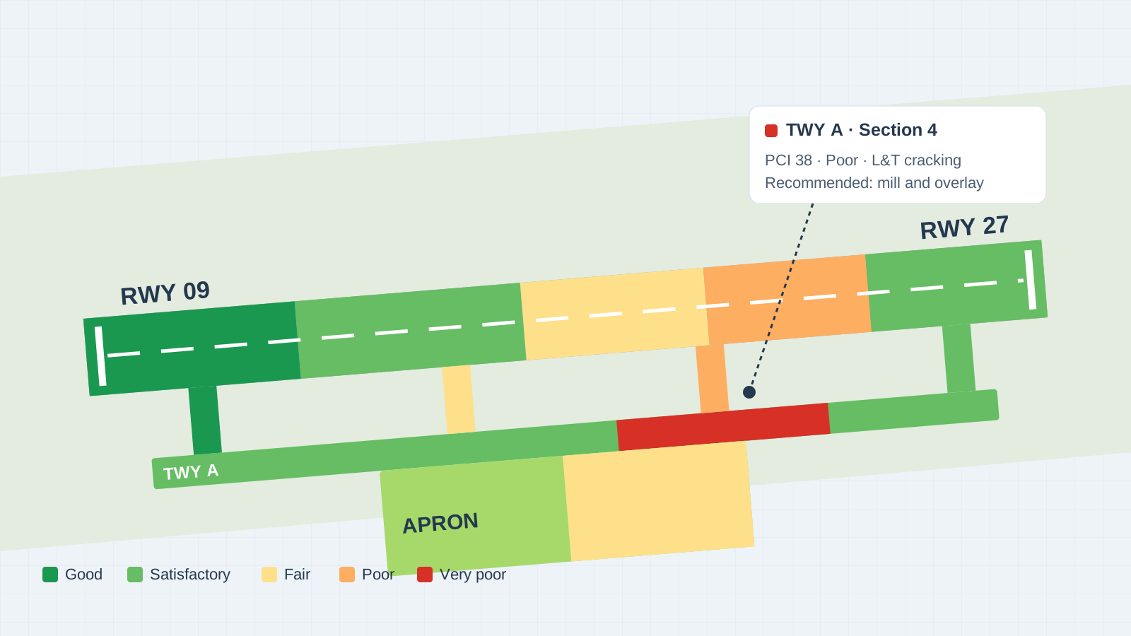
LiDAR-powered airport intelligence.
Runway and taxiway condition, markings, lights, signs and beacons from one 3D capture.
See SAMS with your own data.
A 20-minute demo is enough to see the multi-year picture. We reply within one business day.